

Drone roof surveys are a game-changer for building inspections, offering a safer and more efficient way to assess structures. They provide detailed high definition imagery and data, helping identify issues without the need for manual inspections.
AiroTech employ the use of high performance, industrial specification, drones in order to undertake our surveys in a safe and efficient manner.
Using state of the art UAV(Unmanned aerial vehicle) technology, we are able to manoeuvre close to buildings and structures, into awkward or risky positions where another means of access may be unsafe, inappropriate or expensive. We avoid the use of scaffolding, cherry pickers (MEWPS) and, inline with the HSE (Health and Safety Executive) Hierarchy of Risk Control, we require no persons to be working at height, ensuring the highest level of safety.
A risk assessment is carried out for each job using our in house risk management systems i.e. risk assessment and method statement(RAMS) and planned to ensure the safe operation of our services. Our works are conducted to CAA (Civil Aviation Authority) Approved Operations Manual and drone surveying services are fully insured.
Type of Drone Surveys
We can conduct the following surveys:
- Structural surveys
- Building surveys
- Commercial and residential Roof surveys
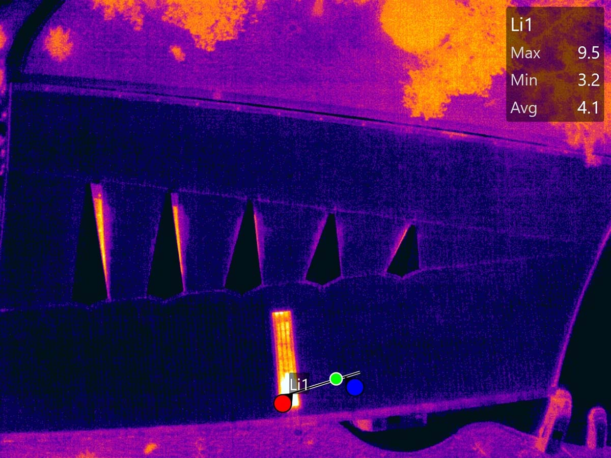
- Infrared Thermal heat loss surveys
- High rise building condition surveys
- Housing association surveys
Sample Reports
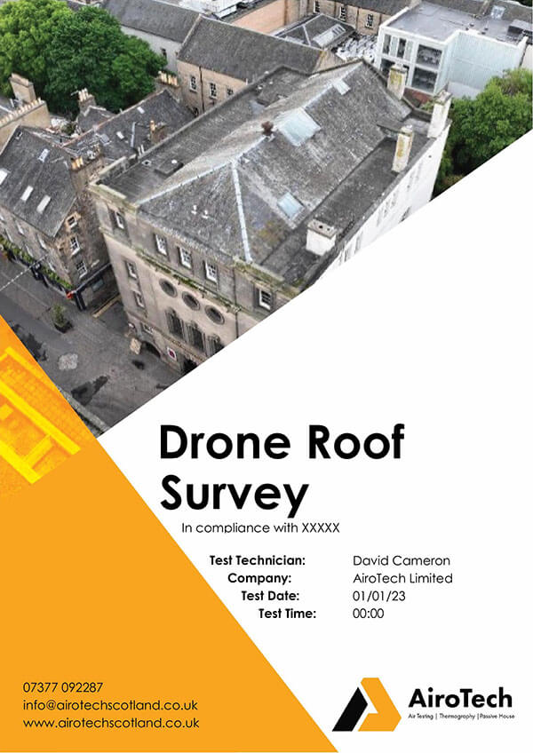
Drone Survey Images
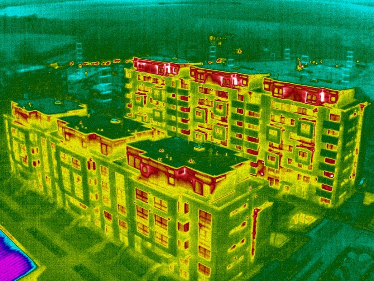


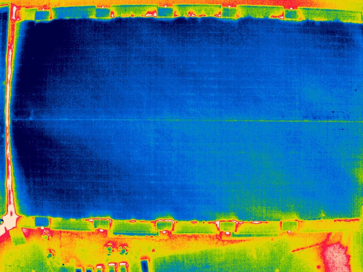
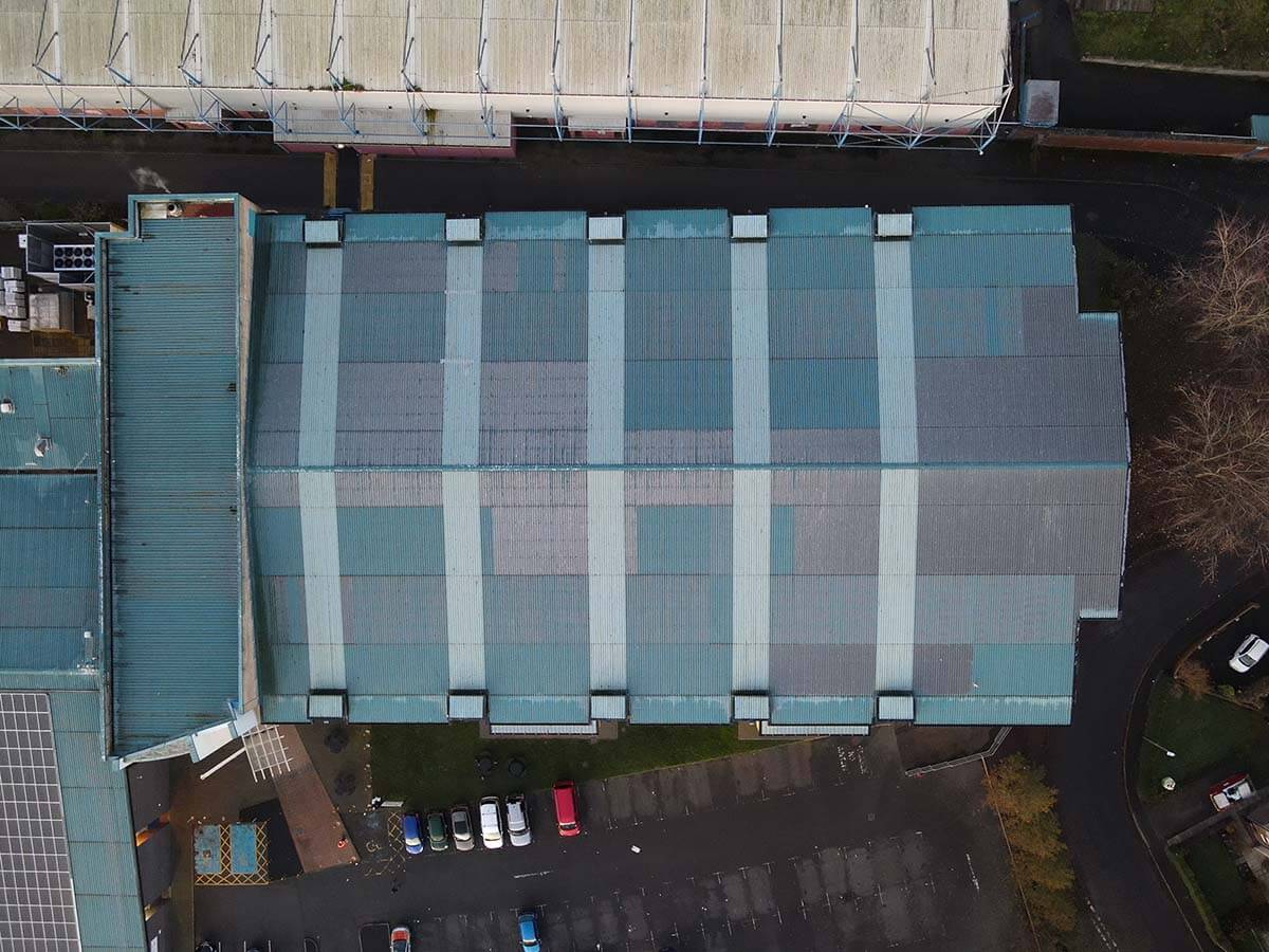

Drone Survey Projects


Frequently Asked Questions
A drone survey is an aerial inspection performed using a remotely piloted aircraft. It captures high‑resolution images and video footage, enabling detailed analysis of structures, landforms, and infrastructure – all without physical access to hard‑to‑reach or hazardous areas.
Drone surveys can be used for roof inspections, building façades, solar farm condition assessments, topographical mapping, volumetric measurements (e.g. quarries), flood risk evaluation, vegetation monitoring, and more.
Drone surveys are faster, safer, and more cost-effective than traditional methods. They reduce the need for scaffolding or working at height, allow access to hard-to-reach areas, and deliver highly accurate data in less time.
Costs depend on site size, survey complexity, and site access. We tailor quotes to your project after an initial site assessment or briefing call.
Typical drone survey flights last 30 minutes to a few hours, depending on site size. Preliminary findings can be delivered within 24–48 hours of data collection, with full reports available shortly after post‑processing.
Minimal preparation is required. We need safe access to a suitable take‑off and landing area. It’s helpful to inform us of any hazards or restricted zones.
Drone flights are weather‑dependent. We monitor conditions and may reschedule flights if there’s high wind, heavy rain, snow, or poor visibility to ensure quality and safety.
Contact Us
If you need a Drone Survey, please contact AiroTech for a quotation or to discuss your requirements.